Barnton

Exit

Barnton Quarry produced stone until 1914.

In 1942, during WWII, the Royal Air Force built a fighter command operations room in the quarry to operate the Turnhouse Sector (now Edinburgh Airport) of RAF Fighter Command.

In 1952, as part of Cold War precautions, the facility was expanded. A three floor R4 bunker, the highest level, was constructed and the quarry backfilled to provide a Sectors Operation Centre (SOC) for correlating information from Project ROTOR radar stations throughout Scotland. The bunker was given the code letters MHA.

In 1958 the ROTOR project was decommissioned due to the time delay involved in passing information from radar station - to SOC - to the fighter aircraft.

During the 1960s, the facilities found new use as a Regional Seat of Government and was kept ready to accommodate 400 politicians and civil servants, for up to 30 days. Although the government building was meant to remain secret, its existence was revealed to the public on Good Friday 1963 when a group known as Spies For Peace published its details. It remained operational until the early 1980s.

In 1983, ownership was transferred to Lothian Regional Council, who sold it in 1987 for £55,000 to a Glasgow developer (MacGregor Properties), but they failed to get planning permission for development. In 1991, the structure sustained fire damage. The property was put up for sale again in 1992, but before it could be sold the interior was largely destroyed by a fire in May 1993. The fire released asbestos fibres throughout the underground rooms and put them in an extreme state of dereliction. The site was then purchased by James Mitchell, Managing Director of Scotland's Secret Bunker in Fife.

Since 2011, a team of volunteers has been involved in restoration efforts to return it to its 1952 condition.

In June 2021 Historic Environment Scotland gave the site Category A listing.

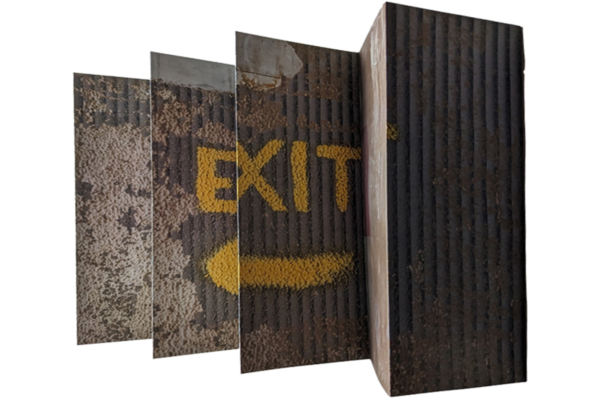
Exit is a collaborative project exploring the shapes, forms and patinas of the site.

S Borthwick, E Robson - 2024

Chemin de Nietzsche

signs

Walking from La Tête de Chein and the Trophy of the Alps at La Turbie, on the hills above Monaco, to fragrant Èze in the new autumnal heat was not a planned exercise but a necessary one due to the vagaries of the local bus timetables. The coast stretches out below the road and the summit of Èze’s moorish hill fort wavers in the afternoon heat haze ahead of us.

The village twists and turns through narrow lanes up to the cacti garden at its peak and as the sun slips towards the horizon we pass the entrance of the luxury Chèvre d’Or hotel to one side and an asemic graffiti-covered board barring the route to the upper valley to the other, preparing for our evening descent.

The Chemin de Nietzsche winds down the rocky tree-lined slope of Olive, Mastic, Euphorbias, and Holm Oaks from Èze to Èze-sur-Mer. A 3.8 km long path with steep 20 degree stretches; not for the faint of foot, a challenging but direct route from village to the train station on the coast 361m below. A plaque marks the starting point and periodic local information signs give facts and snippets of poetry.

“Eeeeeeeeeeeeeeeeeeeeeeeeeeeeeeeei!” I warble involuntarily, surfing down a scree slope on the path. Finding myself surprisingly still upright continuing seems a valid option. Part gravel, part rock-face, part dirt - there is no losing focus on how to place your feet and maintaining balance. Nietzsche seems to have found a different sort of balance while traversing this path, the light, climate and landscape regenerating his faculties and overcoming the horror of eternal return - “ The agility of my muscles was always greatest when my creative power was strongest. The body is enthusiastic… I could then without having any notion of fatigue, be on the road in the mountains for seven or eight hours in a row. I slept well. I laughed a lot. I was in a perfect state of vigor and patience.”

As the day cools in the shade of the forest and the shadow of the hill, mosquitoes swarm in the dells formed at the switchbacks. Sweat puddles and dust sticks but finally the path emerges at the edge of the woods breaking out to a vertiginous outcrop overlooking the coast. Here the path is steeper but more consistent underfoot and not all mental effort needs to be spent on controlling movement.

The sun is low to the west; golden light, peach cliffs, spearmint scrub, and azure and cobalt sea. Nothing about this view seems unreliable. Still we continue to descend.

How many people have trod this path ‘to the mountains of unrest and solitude’ since Nietzsche’s day?

The path’s maintenance seems to be an ancillary benefit of the water pipes running up this crevasse and access being required for the pumping station. Utilities visible in this rural setting where in town they are hidden and secret to most.

As the path comes between the houses of Èze-sur-Mer, the railways take ownership, providing a paved path to commuters using the trains. High-walled gardens loom on either side, turning the last stretch into a labyrinthine maze.

Back to roads.

Back to rails.

“ A dangerous across, a dangerous on-the-way, a dangerous looking-back, a dangerous shuddering and stopping.” Thus Spoke Zarathustra.

E Robson, 2023

Triangle

Triangle

The life of the spirit may be fairly represented in diagram as a large acute-angled triangle divided horizontally into unequal parts with the narrowest segment uppermost. The lower the segment the greater it is in breadth, depth, and area. Wassily Kandinsky

A Triangle is a shape, part of two dimensional space. They appear everywhere in everyday things. The books Triangle and hanging Triangle were inspired by locations throughout Britain from London to Dundee and influenced by the Bauhaus artists Kandinsky, Klee and Moholy-Nagy.

S Borthwick

Cramond

Cramond

It’s been over 80 years since some of these fortifications were first set in the coastal landscape of the Firth of Fourth. Marginal buildings left to their own devices and yet in use everyday.

The causeway dominates the view from shore out to the tidal island, the WWII anti-boat boom of concrete pylons forming a brutal line protecting the pipes and the muddy mouth of the river Almond.

The sea erodes, the woodblock is chipped away.

Follow the co-ordinates, contemplate the reasons for the views.

J Rowan, E Robson.

Saltmarsh, Oh Saltmarsh!

salt

A few houses cluster together at Lee-Over-Sands on the Essex coast. They are built on piles, and for good reason. They lie on the seaward side of the sea defences, where the sea could overwhelm them. Saltmarsh and creeks lie between them and the sea.

Flocks of starlings, power lines in catenary curves, telegraph poles leaning at all angles, saltmarsh, saltmarsh.

Wartime concrete. Redshanks, egrets, oystercatchers and the sound of a curlew.

Wind turbines out at sea and a decommissioning nuclear power station on the horizon.

Sea Asters, Sea Milkwort, Seablite, Sea Purslane, Sea Rushes, Sea lavender, Golden samphire.

Saltmarsh, saltmarsh…..

Out from the Colne River two huge London barges ghosted by, all their great red sails hoisted. A century and a half ago they would have been commonplace. In front of me there was a pillbox and a line of tank traps stretching west. I saw a boy climb onto the pillbox and stand there – it was an arresting sight, and it stuck in my mind, as did a murmuration of starlings. Later two girls did a pop video dance on top of the pillbox, with a construction rig out at the wind turbines as a backdrop.

Until the late 1960s you could hear the wildfowlers’ shotguns banging from hideouts in the creeks; years before that you might have heard the boom of a punt gun and, perhaps, have seen the gout of flame from its vast long muzzle. On a famous occasion, or a notorious one, two punt-gunners fired at once, killing seventy-four Brent geese between them. Now the place is a bird sanctuary reached by a wooden footbridge, close to the black rotting stumps of a pier once used for gravel extraction. Turning the place over to a nature reserve had a mixed reception from locals. Tradition died hard here.

A middle-aged woman outside one of the houses told me her grandparents bought it seventy years ago, and it has been in the family ever since. Seventy years ago, not seventy-one. In 1953 the sea rose up in the night and submerged this place, and much of the English east coast as well. Thirty-seven people were drowned in Clacton-on- Sea, three miles east of here. Hundreds were drowned not much further away, in The Netherlands too. All the houses in Lee-Over-Sands were washed away. And now the sea is rising. Where would you rather live – on the slopes of the volcano, or in front of the sea wall?

A J Kinroy, October 2024

The Left Bank

donwash

An ongoing psychogeography project exploring the Left Bank of the River Don in Aberdeen from Persley through Danestone and the Bridge of Don to the Don river mouth.

Find all the drifts and détournements so far at The Left Bank. Also a psychogeography reading list.

E Robson, June to October 2024

Palimpsest

Palimpsest

Is it ghost writing on the wall? Hieroglyphs marking a tomb? Phonetician tally marks pressed into clay? Incisions to convey meaning to last through the decades?

I like to imagine it is.

E Robson - August 2023

Off Track

offtrack

A collaborative expanding bookform with photo-poems inspired by a walk and reunion after a long period of lockdown.

Read the story behind the making of the book over on Edinburgh & Elsewhere

E Robson, C Marshall - 2022

In Memoriam St. Osyth

osyth

St. Osyth is fifty miles from London, and a mile or two from the Essex coast. Londoners from the East End have come here on holiday for more than one hundred years. One of them, I surmise, left the glass in a charity shop in St. Osyth High Street. The glass would have been unremarkable, but for the note tucked into it:

“A printing works in a side street off King’s Cross were where I spent many happy hours. This Gold Label glass belonged to “Pat”, the general factotum, who drank himself to death, aided by me, “The hook”. I used to open the windows. Cheers’! Pat [heart]!

Seemingly “The Hook” wanted to perpetuate Pat’s memory. But who was Pat, beyond a man who worked in a printing works in King’s Cross and drank himself to death? How old was he when he died, and when was that? Did he have a family? If so, did they mourn him, or was he estranged from them by alcohol? Why did The Hook not tell more? Maybe the note in the glass is not a commemoration, but a confession. You can decide for yourself, because the glass and the note are both here.

A J Kinroy, October 2024

Lost Connections, Manchester

lost

The skittering noise while my mobile slides down the concrete embankment into a water drainage channel was not a noise I ever wanted to hear. I ducked through the fence and slid down after it, climbing back up was more of an issue and we both had our scrapes before I got back to the pavement. Manchester in January.

It had been several years since I’d last been in the city, previous trips had been via work or to visit friends who worked there, a day of tourism started with dropping the device with the maps. Left to wander between the Victorian, the industrial and the modern, the city presents many faces. Layers of urban history piling up against each other on this grey and damp day.

You can cover a lot of ground in a day, museums, galleries, gardens, shops, restaurants, pubs – layers of impressions. Those memories modify over time, merging with new information, shattering with context and reforming, losing solidity and becoming a melancoly, nebulous feeling of lost connection.

E Robson - January 2020

To The Peninsula, my Friends

peninsula

To the Peninsula, uses found poetry and photography to revisit an area by the Thames in South-East London that has undergone massive development, playfully questioning what lies behind the façade.

Read the story of the book over on Edinburgh & Elsewhere

C Marshall

Location


Art & Design, Central Library, Edinburgh

Phone


+44 (0)131